File:MotutapuLOCNZMaori.svg

Size of this PNG preview of this SVG file: 504 × 600 pixels. Other resolutions: 202 × 240 pixels | 403 × 480 pixels | 645 × 768 pixels | 860 × 1,024 pixels | 1,721 × 2,048 pixels | 589 × 701 pixels.
Original file (SVG file, nominally 589 × 701 pixels, file size: 155 KB)
Summary
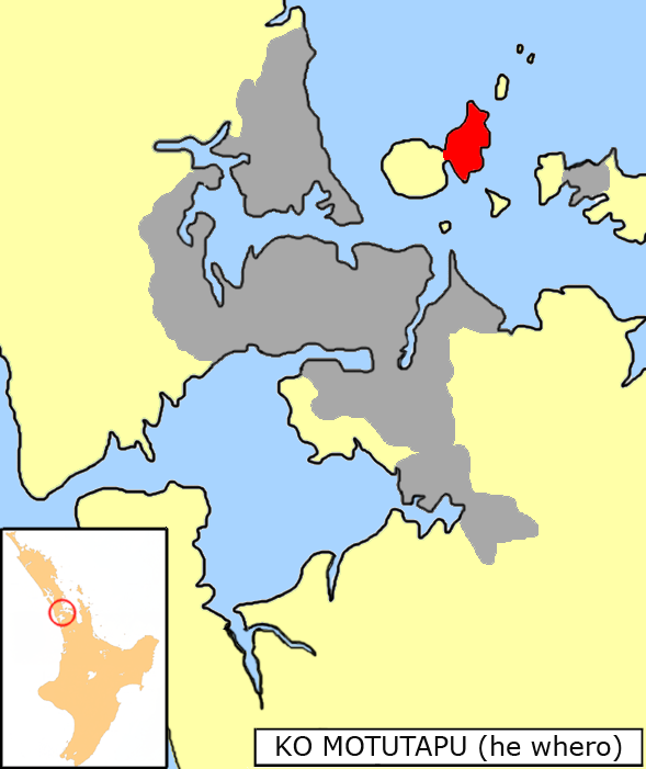
| Description | Map of Auckland Region, New Zealand showing the location of Motutapu Island | |||
| Date | ||||
| Source | adapted from the free-use graphics by Grutness File:NZ-Rangitoto.png | |||
| Author | Grutness (adapted by Kahuroa) | |||
| Permission (Reusing this file) |
released into the public domain, no rights retained | |||
| Other versions |
|
|||
| SVG genesis | This map was created with Adobe Illustrator.
|


Licensing
| I, the copyright holder of this work, release this work into the public domain. This applies worldwide. In some countries this may not be legally possible; if so: I grant anyone the right to use this work for any purpose, without any conditions, unless such conditions are required by law. |
File history
Click on a date/time to view the file as it appeared at that time.
| Date/Time | Thumbnail | Dimensions | User | Comment | |
|---|---|---|---|---|---|
| current | 18:53, 24 Noema 2020 | | 589 × 701 (155 KB) | SVGWorkaroundBot | WorkaroundForLibrsvgBugs ScourYES SVGCleanerYES ValidNO User:SVGWorkaroundBot/source, solves bugs such as: phab:T55899, phab:T68672, phab:T43424, phab:T193929, phab:T35245 reduce invalid-Errors, convert flowRoot to SVG1.1-text, please see file-description-page on commons for the actual bug |
| 05:20, 10 Pēpuere 2007 |  | 589 × 701 (155 KB) | Kahuroa | {{Information |Description=Map of Auckland Region, New Zealand showing the location of Motutapu Island |Source=adapted from the free-use graphics by Grutness Image:NZ-Rangitoto.png |Date=10 February 2007 |Author=Grutness (adapted by Kahuroa) |Permiss |
File usage
Kāhore kau ngā whārangi e whai hoto ana ki tēnei kōnae whakaahua.