File:Jerusalem WBIL.jpg
No higher resolution available.
Jerusalem_WBIL.jpg (405 × 269 pixels, file size: 27 KB, MIME type: image/jpeg)
Summary
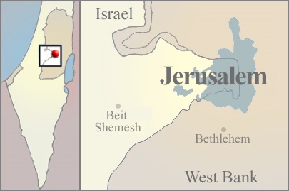
| Description | Jerusalem in Israel and the West Bank. |
| Date | |
| Source |
Own work
|
| Author | Michael Netzer based on map by Ynhockey |
| Other versions | العربيَّة |
Licensing
I, the copyright holder of this work, hereby publish it under the following license:
This file is licensed under the Creative Commons Attribution-Share Alike 3.0 Unported license.
- You are free:
- to share – to copy, distribute and transmit the work
- to remix – to adapt the work
- Under the following conditions:
- attribution – You must give appropriate credit, provide a link to the license, and indicate if changes were made. You may do so in any reasonable manner, but not in any way that suggests the licensor endorses you or your use.
- share alike – If you remix, transform, or build upon the material, you must distribute your contributions under the same or compatible license as the original.
File history
Click on a date/time to view the file as it appeared at that time.
| Date/Time | Thumbnail | Dimensions | User | Comment | |
|---|---|---|---|---|---|
| current | 10:27, 2 Pēpuere 2015 | | 405 × 269 (27 KB) | GregKaye | Reverted to version as of 10:20, 2 February 2015 |
| 10:26, 2 Pēpuere 2015 |  | 405 × 269 (27 KB) | GregKaye | Reverted to version as of 10:24, 2 February 2015 | |
| 10:26, 2 Pēpuere 2015 |  | 405 × 269 (27 KB) | GregKaye | try with different file name on my system | |
| 10:24, 2 Pēpuere 2015 |  | 405 × 269 (27 KB) | GregKaye | try again | |
| 10:20, 2 Pēpuere 2015 |  | 405 × 269 (27 KB) | GregKaye | removing redundant space in map sections, centring Israel and bringing Jerusalem to a more central position. | |
| 02:37, 11 Tīhema 2011 |  | 479 × 269 (56 KB) | MichaelNetzer | Changed text names to uniform color | |
| 00:41, 11 Tīhema 2011 |  | 479 × 269 (57 KB) | MichaelNetzer | Added specific dot locations for Bethlehem and Beit Shemesh. | |
| 17:05, 10 Tīhema 2011 |  | 479 × 269 (58 KB) | MichaelNetzer | changed color of Jerusalem administrative area to grayish tone. | |
| 07:23, 9 Tīhema 2011 |  | 479 × 269 (59 KB) | MichaelNetzer |
File usage
The following page uses this file:
Global file usage
The following other wikis use this file:
- Usage on af.wikipedia.org
- Usage on ar.wikipedia.org
- Usage on ceb.wikipedia.org
- Usage on en.wikipedia.org
- Usage on fa.wikipedia.org
- Usage on fur.wikipedia.org
- Usage on id.wikipedia.org
- Usage on ilo.wikipedia.org
- Usage on jv.wikipedia.org
- Usage on ln.wikipedia.org
- Usage on mai.wikipedia.org
- Usage on min.wikipedia.org
- Usage on nl.wikipedia.org
- Usage on or.wikipedia.org
- Usage on pnb.wikipedia.org
- Usage on ps.wikipedia.org
- Usage on sl.wikipedia.org
- Usage on srn.wikipedia.org
- Usage on ta.wikipedia.org
- Usage on ur.wikipedia.org
- Usage on vi.wikipedia.org
- Usage on war.wikipedia.org
- Usage on yi.wikipedia.org
- Usage on yo.wikipedia.org
- Usage on zh-classical.wikipedia.org