File:Catedral Santiago Chile.jpg
Size of this preview: 800 × 533 pixels. Other resolutions: 320 × 213 pixels | 640 × 427 pixels | 1,024 × 683 pixels | 1,280 × 853 pixels | 2,560 × 1,707 pixels | 4,752 × 3,168 pixels.
Original file (4,752 × 3,168 pixels, file size: 7.92 MB, MIME type: image/jpeg)
Summary
|
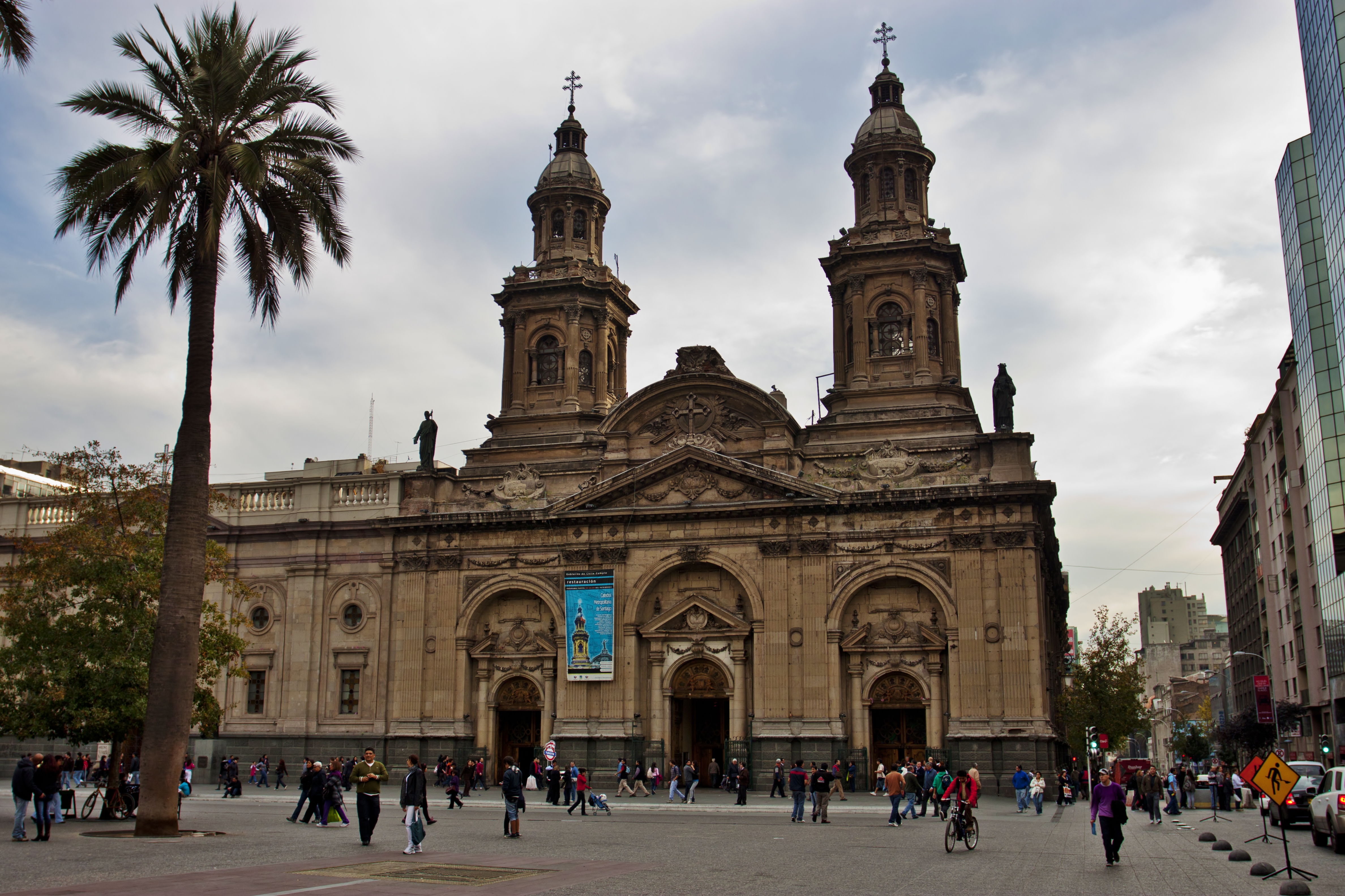
This is a photo of a national monument in Chile: 210
|
| Description |
Catedral Metropolitana de Santiago.
|
| Date | |
| Source | IMG_1584 |
| Author | Nellu Mazilu from Mobile, Terra, Sol, Milky Way |
| Camera location | | View this and other nearby images on: OpenStreetMap |
|---|
Licensing
This file is licensed under the Creative Commons Attribution 2.0 Generic license.
- You are free:
- to share – to copy, distribute and transmit the work
- to remix – to adapt the work
- Under the following conditions:
- attribution – You must give appropriate credit, provide a link to the license, and indicate if changes were made. You may do so in any reasonable manner, but not in any way that suggests the licensor endorses you or your use.
| This image was originally posted to Flickr by Jack Zalium at https://www.flickr.com/photos/7666975@N03/5730238859. It was reviewed on 29 Haratua 2011 by FlickreviewR and was confirmed to be licensed under the terms of the cc-by-2.0. |
File history
Click on a date/time to view the file as it appeared at that time.
| Date/Time | Thumbnail | Dimensions | User | Comment | |
|---|---|---|---|---|---|
| current | 02:49, 29 Mei 2011 | | 4,752 × 3,168 (7.92 MB) | Carlos yo | {{Information |Description=Taken at Latitude/Longitude:-33.444126/-70.650750. 1.56 km North-East Santiago Región Metropolitana Chile [http://www.geonames.org/maps/google_-33.444126_-70.650750.html (Map link)] |Source=[http://www.flickr.com/photos/kaiban/ |
File usage
Kāhore kau ngā whārangi e whai hoto ana ki tēnei kōnae whakaahua.
Global file usage
The following other wikis use this file:
- Usage on en.wikipedia.org
- Usage on id.wikipedia.org
- Usage on it.wikipedia.org
- Usage on ru.wikipedia.org